
Description
Phocis (; Greek: Φωκίδα, pronounced [foˈciða], Ancient Greek: Φωκίς [pʰɔːkís]) is one of the regional units of Greece. It is part of the administrative region of Central Greece. It stretches from the western mountainsides of Parnassus on the east to the mountain range of Vardousia on the west, upon the Gulf of Corinth. It is named after the ancient region of Phocis, but the modern regional unit also includes parts of ancient Locris and Doris.
Geography
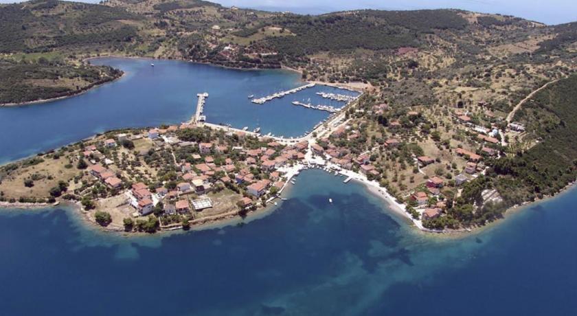
Modern Phocis has an area of 2120 km² (819 mi²), of which 560 km² (216 mi²) are forested, 36 km² (14 mi²) are plains, and the remainder is mountainous. The massive ridge of Parnassus (2,459 m/8,068 ft), which traverses the heart of the country, divides it into two distinct portions. The neighboring prefectures are Aetolia-Acarnania to the west, Phthiotis to the north and Boeotia to the east. Much of the south and east are deforested and rocky and mountainous while the valley runs from Itea up to Amfissa. Forests and greenspaces are to the west, the central part and the north.
Its reservoir is the Mornos Dam on the Mornos river. It covers nearly 1 km to 3 km². It was completed in the 1960s, and GR-48 was extended to pass through the dam.
Administration
The regional unit Phocis is subdivided into 2 municipalities. These are (number as in the map in the infobox):
- Delphi (Delfoi, 1)
- Dorida (2)
Prefecture
Phocis was created as a prefecture in 1947 out of the Phthiotis and Phocis Prefecture. As a part of the 2011 Kallikratis government reform, the regional unit Phocis was created out of the former prefecture Phocis (Greek: Νομός Φωκίδας). The prefecture had the same territory as the present regional unit. At the same time, the municipalities were reorganised, according to the table below.
Provinces
- Province of Dorida - Lidoriki
- Province of Parnassida - Amfissa
Note: Provinces no longer hold any legal status in Greece.
History
Population
With a population of 40,343 (2001), it is one of Greece's least populous regional units, and has a population density of 19 persons per km² (49/mi²). In the summer months, the population nearly doubles due to the influx of tourists.
Most of the villages are in the south, the southeast and the east, especially in the areas between Amfissa and Itea. The north and the west are the least populated.
Transport
- Greek National Road 3, NE
- Greek National Road 27, Cen., N
- Greek National Road 48, SW, Cen., SE
- E65, SW, S, SE
People
Modern Phocis was inhabited by several Greek tribes since antiquity, mainly by Phocians, Locrians and Dorians, which were intermingled and formed the present-day Phocian population, with a unique linguistic and cultural heritage, frequently mentioned as Roumeliotes.
Address
Phocis
Greece
Lat: 38.559864044 - Lng: 22.143020630

