
Description
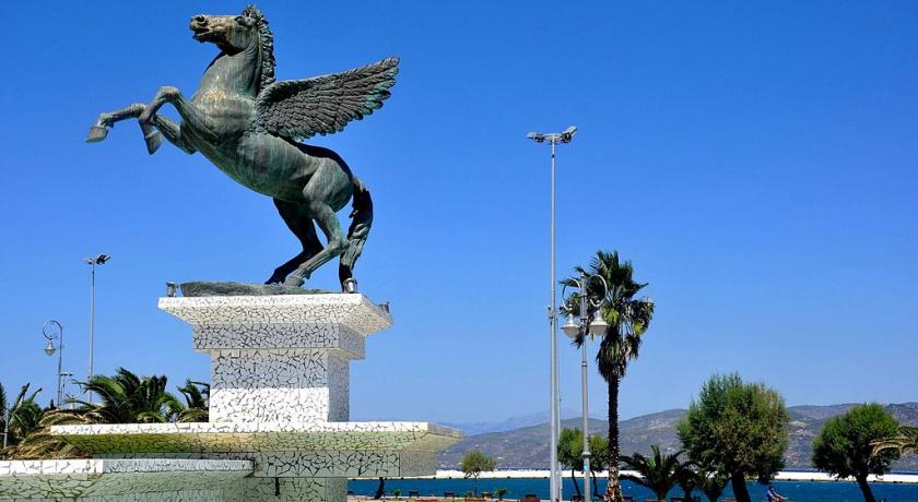
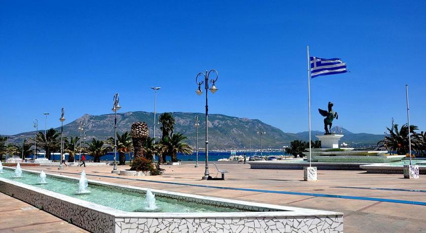
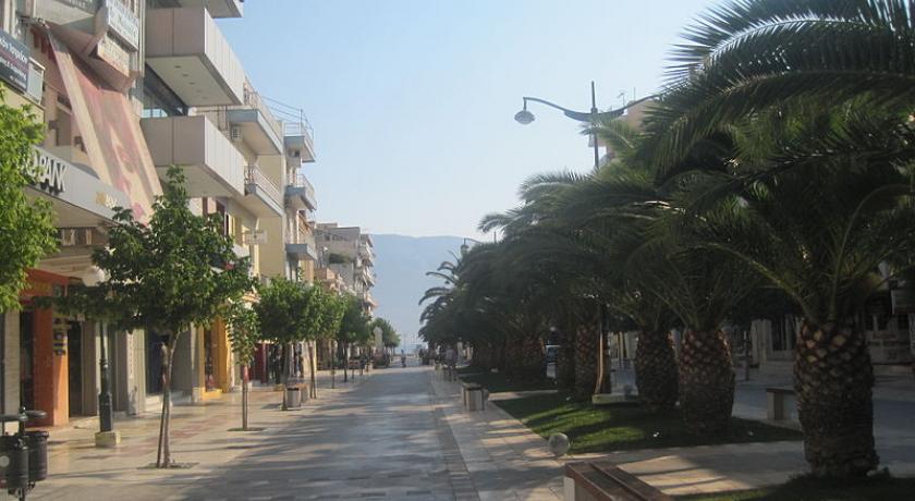
Corinth (; Greek: Κόρινθος, Kórinthos, pronounced [ˈkorinθos]) is a city and former municipality in Corinthia, Peloponnese, Greece. Since the 2011 local government reform it is part of the municipality of Corinth, of which it is the seat and a municipal unit. It is the capital of Corinthia.
It was founded as Nea Korinthos or New Corinth (Νέα Κόρινθος) in 1858 after an earthquake destroyed the existing settlement of Corinth, which had developed in and around the site of ancient Corinth.
Geography
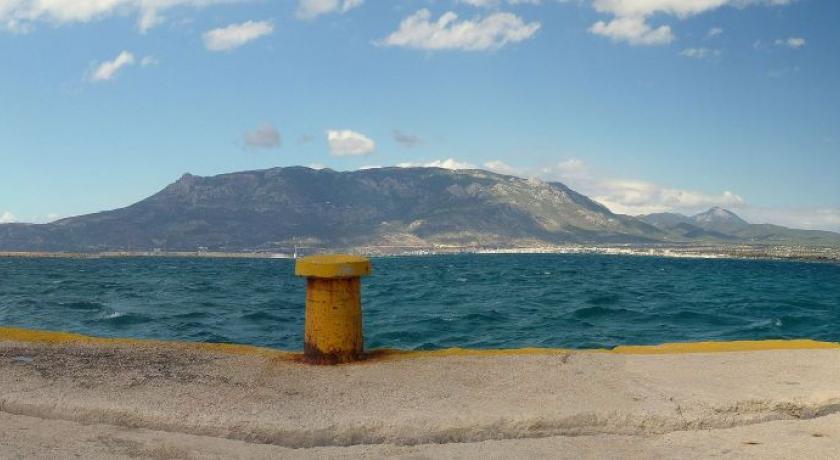
Located about 78 kilometres (48 mi) west of Athens, Corinth is surrounded by the coastal townlets of (clockwise) Lechaio, Isthmia, Kechries, and the inland townlets of Examilia and the archaeological site and village of ancient Corinth. Natural features around the city include the narrow coastal plain of Vocha, the Corinthian Gulf, the Isthmus of Corinth cut by its canal, the Saronic Gulf, the Oneia Mountains, and the monolithic rock of Acrocorinth, where the medieval acropolis was built.
History
Corinth derives its name from Ancient Corinth, a city-state of antiquity. In 1858, the old city, now known as Archaia Korinthos (Αρχαία Κόρινθος), located 3 kilometres (1.9 miles) SW of the modern city, was totally destroyed by a magnitude 6.5 earthquake. Nea Korinthos or New Corinth was then built a few kilometers away on the coast of the Gulf of Corinth. A magnitude 6.3 earthquake in 1928 devastated the new city, which was then rebuilt on the same site. It was rebuilt again after a great fire in 1933.
Demographics
The Municipality of Corinth (Δήμος Κορινθίων) had a population of 58,192 according to the 2011 census, the second most populous municipality in the Peloponnese Region after Kalamata. The municipal unit of Corinth had 38,132 inhabitants, of which Corinth itself had 30,176 inhabitants, placing it in third place behind Kalamata and Tripoli among the cities of the Peloponnese Region.
The municipal unit of Corinth (Δημοτική ενότητα Κορινθίων) includes apart from Corinth proper the town of Archaia Korinthos (2,198 inhabitants in 2011), the town of Examilia (2,905 inhabitants), and the smaller settlements of Xylokeriza (1,316 inhabitants) and Solomos (817 inhabitants). The municipal unit has an area of 102.187 km2.
Economy
Industry
Corinth is a major industrial hub at a national level. Corinth Refineries are one of the largest oil refining Industrial complex in Europe. Copper cables, petroleum products, leather, medical equipment, marble, gypsum, ceramic tiles, salt, mineral water and beverages, meat products, and gums are produced nearby. As of 2005, a period of deindustrialization has commenced as a large pipework complex, a textile factory and a meat packing facility diminished their operations.
Transport
Roads
Corinth is a major road hub. The A7 toll motorway for Tripoli and Kalamata, (and Sparta via A71 toll), branches off the A8/European route E94 toll motorway from Athens at Corinth. Corinth is the main entry point to the Peloponnesian peninsula, the southernmost area of continental Greece.
Bus
KTEL Korinthias provides intercity bus service in the peninsula and to Athens via the Isthmos station southeast of the city center. Local bus service is also available.
Railways
The city has been connected to the Proastiakos, the Athens suburban rail network, since 2005, when the new Corinth railway station was completed.
Port
The port of Corinth, located north of the city centre and close to the northwest entrance of the Corinth Canal, at 37 56.0’ N / 22 56.0’ E, serves the local needs of industry and agriculture. It is mainly a cargo exporting facility.
It is an artificial harbour (depth approximately 9 metres (30 ft), protected by a concrete mole (length approximately 930 metres, width 100 metres, mole surface 93,000 m2). A new pier finished in the late 1980s doubled the capacity of the port. The reinforced mole protects anchored vessels from strong northern winds.
Within the port operates a customs office facility and a Hellenic Coast Guard post. Sea traffic is limited to trade in the export of local produce, mainly citrus fruits, grapes, marble, aggregates and some domestic imports. The port operates as a contingency facility for general cargo ships, bulk carriers and ROROs, in case of strikes at Piraeus port.
Ferries
There was formerly a ferry link to Catania, Sicily and Genoa in Italy.
Canal
The Corinth Canal, carrying ship traffic between the western Mediterranean Sea and the Aegean Sea, is about 4 kilometres (2.5 mi) east of the city, cutting through the Isthmus of Corinth that connects the Peloponnesian peninsula to the Greek mainland, thus effectively making the former an island. The builders dug the canal through the Isthmus at sea level; no locks are employed. It is 6.4 kilometres (4.0 mi) in length and only 21.3 metres (70 ft) wide at its base, making it impassable for most modern ships. It now has little economic importance.
The canal was mooted in classical times and an abortive effort was made to build it in the 1st century AD. Construction started in 1881 but was hampered by geological and financial problems that bankrupted the original builders. It was completed in 1893, but due to the canal's narrowness, navigational problems and periodic closures to repair landslips from its steep walls, it failed to attract the level of traffic anticipated by its operators. It is now used mainly for tourist traffic.
Sport
The city's association football team is Korinthos F.C. (Π.Α.E. Κόρινθος), established in 1999 after the merger of Pankorinthian Football Club (Παγκορινθιακός) and Corinth Football Club (Κόρινθος). During the 2006–2007 season, the team played in the Greek Fourth Division's Regional Group 7. The team went undefeated that season and it earned the top spot. This granted the team a promotion to the Gamma Ethnikí (Third Division) for the 2007–2008 season. For the 2008–2009 season, Korinthos F.C. competed in the Gamma Ethniki (Third Division) southern grouping.
Source: https://en.wikipedia.org/wiki/Corinth
Address
Corinth
Greece
Lat: 37.938636780 - Lng: 22.932237625

